As autumn deepens and the United Kingdom moves closer to winter, weather speculation naturally intensifies. Every year around this time, the term “Arctic blast” tends to dominate headlines and social media discussions. However, the current UK Arctic Blast Weather Forecast paints a very different picture. Contrary to sensational reports suggesting a deep freeze or snow-laden cold snap, meteorologists are observing a largely mild, unsettled, and rainy pattern across much of the country.
This article explores what’s really happening with the UK’s weather in early November, why rumours of an “Arctic blast” have gained traction, and what the outlook for the rest of the month looks like.
Understanding the Arctic Blast Phenomenon
An “Arctic blast” refers to a sudden surge of extremely cold air traveling south from the Arctic region, often bringing snow, ice, and sub-zero temperatures. When this air mass moves into the UK, it can cause sharp drops in temperature, frost, and wintry hazards across northern and eastern regions.
However, such events typically require specific atmospheric conditions — namely, a shift in the jet stream that allows Arctic air to flow directly toward Britain. This is not currently occurring. Instead, the jet stream is positioned to the north of the UK, keeping colder air at bay and allowing milder Atlantic systems to dominate.
Current Weather Pattern Across the UK
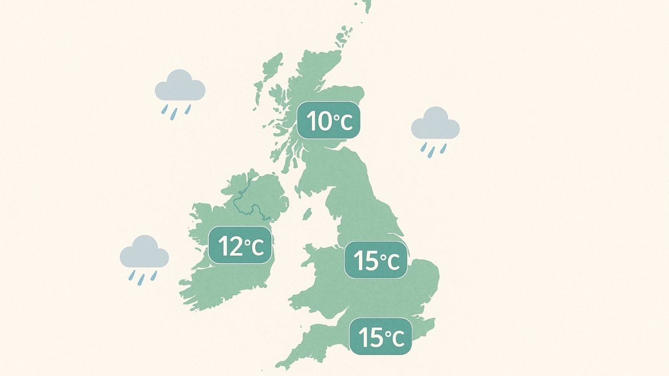
According to the latest UK Arctic Blast Weather Forecast, the early November pattern is far from wintry. Most regions are experiencing temperatures above seasonal averages, with daytime highs ranging between 11°C and 15°C, particularly in southern and western parts of the country. Nights are relatively mild too, rarely dipping near freezing.
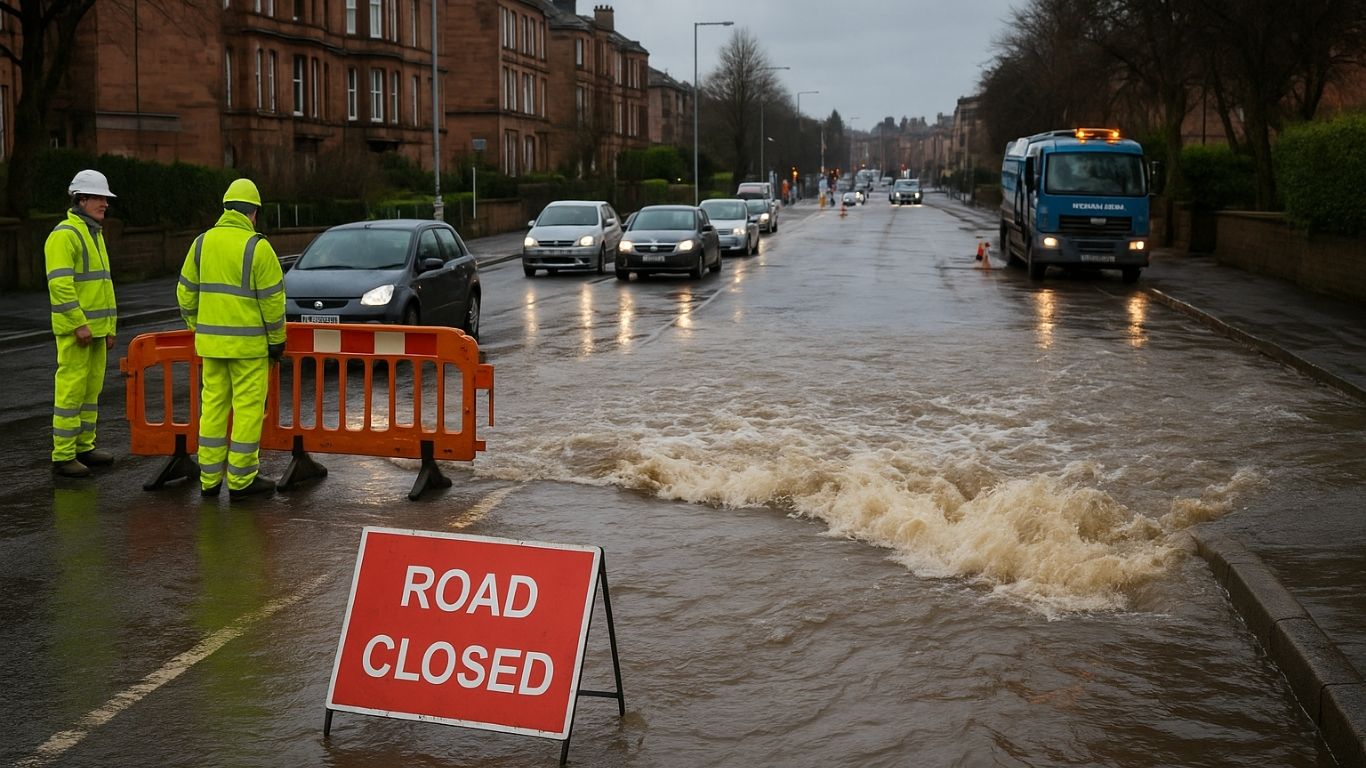
The dominant feature in recent days has been rain and drizzle, especially in the west and northwest. Persistent low-pressure systems are bringing unsettled conditions, with cloud cover, patchy rain, and occasional gusty winds. In contrast, eastern and southeastern regions may see brighter spells between showers, though the overall outlook remains unsettled rather than cold.
This mix of mild air and frequent rainfall is typical for early November in the UK. While not dramatic, it reflects a classic autumn setup rather than an Arctic invasion.
Why Are Arctic Blast Rumours Spreading?
Each year, speculation about severe cold snaps tends to surface earlier and earlier. The idea of an “Arctic blast” captures public attention — and for many, it’s a nostalgic reminder of rare snowy winters. However, weather models are often misinterpreted, especially when long-range forecasts are taken out of context.
In reality, long-term weather forecasting remains complex. Computer models can show early signs of colder air masses weeks in advance, but these signals frequently change as atmospheric conditions evolve. A single run suggesting a potential cold spell can be enough to spark sensational headlines, even when the scientific consensus points toward mild and unsettled weather.
Meteorologists emphasize that, while colder air can occasionally dip southward later in November, there is no immediate indication of a widespread or prolonged Arctic blast.
Regional Outlook: England, Scotland, Wales, and Northern Ireland
Let’s take a closer look at what different parts of the UK can expect based on the latest UK Arctic Blast Weather Forecast.
England
For most of England, the weather remains changeable but mild. The south and Midlands are likely to see frequent showers interspersed with sunny intervals. Temperatures will hover around 13°C to 15°C during the day, with evenings staying comfortably above 6°C. No frost or snow is anticipated in the immediate term.
Scotland
Scotland is often the first part of the UK to experience cooler air, but even here the outlook is moderate. Western coastal regions may see heavy rain and strong winds, while the Highlands could experience brief dips in temperature during clearer nights. Nonetheless, no significant snowfall or Arctic conditions are expected for now.
Wales
Wales continues to see an Atlantic influence, with rain-bearing systems sweeping through. Some brighter interludes may appear between fronts, but temperatures remain stable and above average for early November. Coastal winds could pick up at times, particularly in the north and west.
Northern Ireland
Unsettled conditions persist across Northern Ireland, with periods of rain and drizzle. Mild temperatures continue, with highs around 12°C to 14°C and lows staying well above freezing. The risk of frost remains minimal under the current pattern.
What Could Change Later in November?
While the short-term UK Arctic Blast Weather Forecast rules out any immediate freeze, meteorologists will be watching the evolution of the jet stream closely in the weeks ahead. If the jet stream dips southward, it could open a pathway for colder air from the north or northeast to move toward the UK.
However, such transitions are often gradual and depend on broader climate signals — including the North Atlantic Oscillation (NAO) and the Arctic Oscillation (AO). Both indices currently suggest a neutral to positive phase, which supports milder westerly flows rather than Arctic outbreaks.
In simple terms, the atmosphere does not appear primed for a major cold snap at this time. Instead, the focus remains on rainfall, breezy conditions, and above-average temperatures.
How to Prepare for Changing Weather
Even though no Arctic blast is forecast, it’s always wise to stay weather-aware during autumn. The UK’s climate is famously unpredictable, and rapid shifts in temperature or rainfall can occur with little warning.
Here are a few practical steps for the weeks ahead:
- Check local forecasts regularly to stay updated on rainfall and wind warnings.
- Maintain good home drainage to prevent issues from heavy rainfall.
- Dress in layers to adapt easily to fluctuating temperatures.
- Ensure vehicle maintenance, especially windshield wipers and tires, as roads can become slick during persistent rain.
Staying prepared ensures that even mild, unsettled conditions don’t catch you off guard.
Long-Term Outlook Toward Winter
Looking beyond November, early signs suggest the beginning of winter could start relatively mild, with a gradual cooling trend in December. Some models hint at increased potential for colder spells later in the season, particularly if pressure patterns shift to favor northerly or easterly winds.
However, long-range forecasts are inherently uncertain. For now, it’s safe to say that no Arctic blast is on the horizon, and the UK remains under the influence of Atlantic systems delivering a familiar blend of rain, wind, and cloud.
Conclusion
Despite growing chatter about plunging temperatures and Arctic air, the UK Arctic Blast Weather Forecast remains firmly mild for now. November has begun with unsettled, damp, and breezy weather, typical of the season but far from the icy conditions some reports suggest.
While the potential for colder weather later in the month cannot be entirely ruled out, the immediate picture shows rain over snow, and warmth over frost. In short, the UK is experiencing a mild autumn — not an Arctic blast.